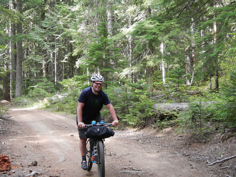
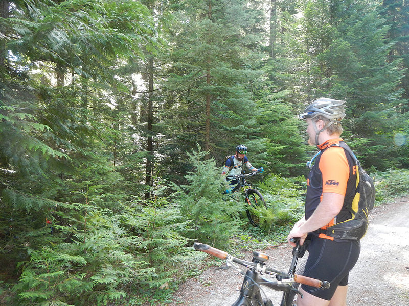
Some friends put together another gravel/mixed surface ride for this past Sunday starting out at the Bennett Sno Park near Mt. Hood Meadows. The word was that a mtn bike might be better for some of the sections, while at the very least 40c tires were the recommended tire size for cross/gravel bike. Out of the 8 of use the showed up we definitely ran the gambit. We had two cross bikes, two single speed fully rigid mountain bikes, two full suspension mountain bikes, one hardtail and one fully rigid hardtail.

I opted for the Cannondale F29 today so that I could test both a new revelate designs frame bag and a handlebar mountain feed bag. The goal was to test these two items out for my upcoming 7 day, 214 mile mountain bike ride between Durango, CO and Moab, UT via the San Juan Hut system. Truth is the mountain bike was a bit overkill for about 80-85% of the 45 miles. However, the other 15-20% it was hands down the better choice compared to the Niner RLT.
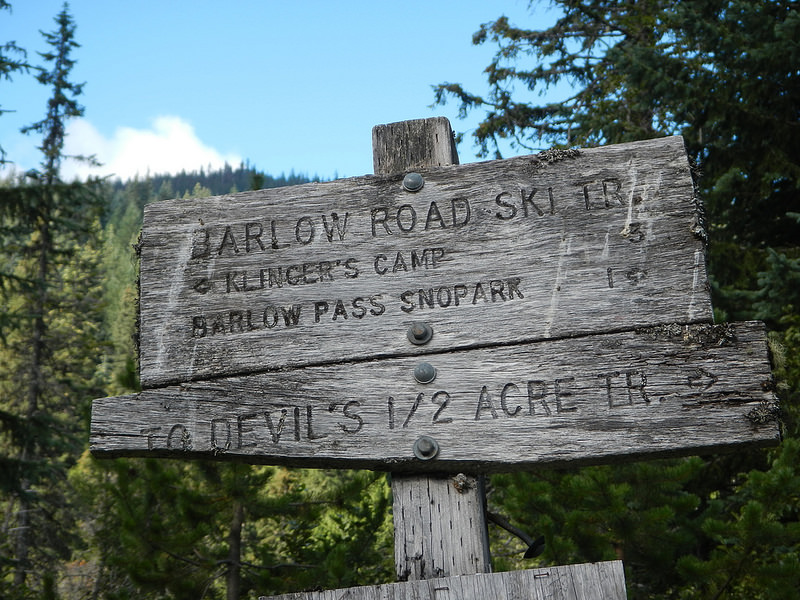
We started out with several chilly miles descending on Route 35 from Bennett Sno Park to the Barlow Road parking lot. This is the same parking lot Mia and I hiked Twin Lakes from last summer. Instead of hitting that trail though, we descended straight down the Barlow Road for several miles of varying conditions (rocks and washouts all the way to smooth dirt and pine needles). I had no idea there were so many campgrounds out this way and it would really make this a fun overnighter for a short but fun bikepacking loop.
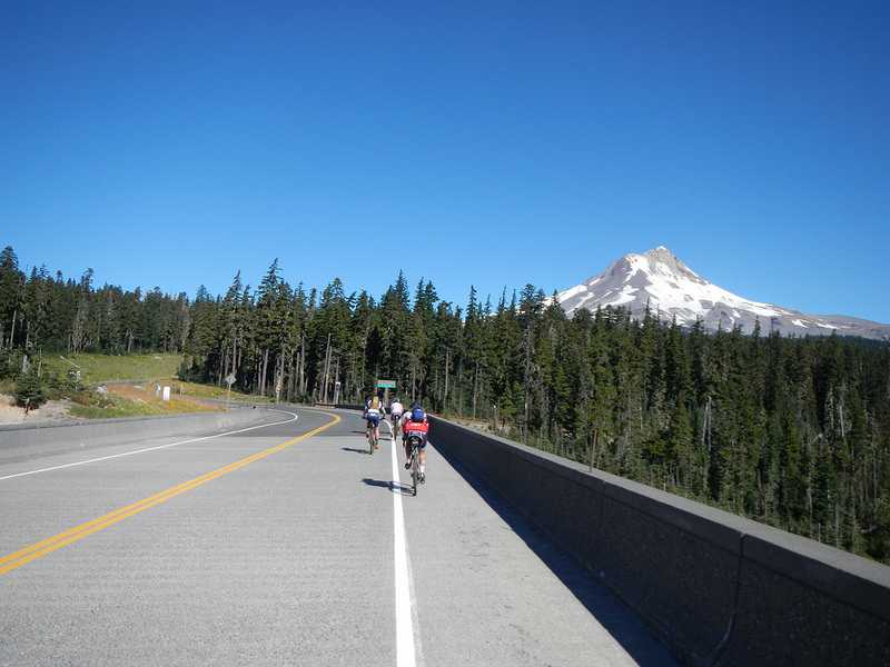

Unlike most of the gravel group rides I have done this year (mostly uphill to start), this one was mostly downhill to flat for the first 10+ miles. Needless to say we would make it all up at the end, but it was nice to start off with some speed and a bit of flowing fun.
So, at one point we were “Off Course” per everyone’s Garmin tracks, but nobody saw what should have been a trail veering off to the right. We kept on the Barlow Road for a bit until we crossed a stream, bushwhacked through the woods about 200 feet and then hooked up with an old logging road. It was interesting, but we were back on the official route now.

We had a mix of gravel back to pavement back to gravel again. Passing a couple more campgrounds with some errant dogs running into the middle of the road. Luckily no pups or people were injured.

We rode through a long section of open range and at one point had to shoo some cows and calves along. That was the worst traffic we ran into all day.

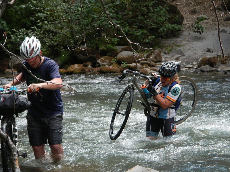
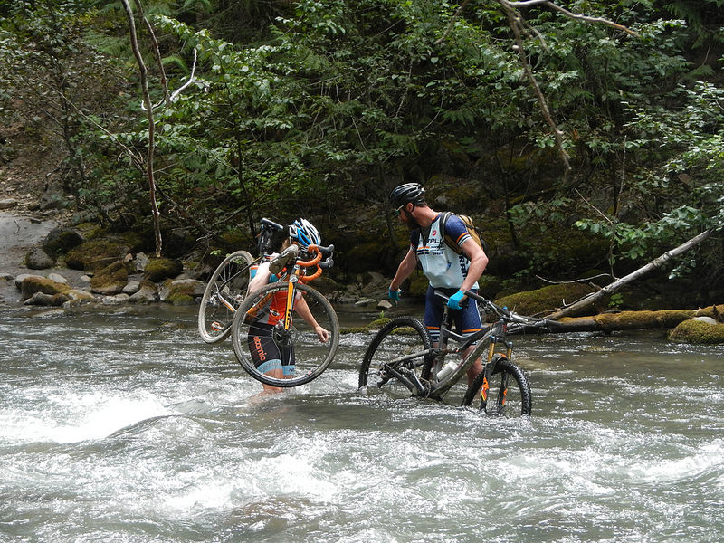
The exciting part of the day was just at the bottom of this switchback. We had to cross the White River before steep(ish) climb up an old road. The water was chilly, the rocks were slick and very hard to see too. On top of all that the water was moving at a pretty good clip too. It was a total blast though.
It was after this river crossing that we basically started to make the long climb back up after the loss of elevation early on. We had a couple moments of flat and even a few quick downhill sections, but more or less from this point on it was UP.


For how primitive (rough) this section of road was, we actually ran into quite a few cars coming in the opposite direction. I think we passed at least 4 which was the most we had seen all day. Also got to eat some huckleberries found growing on the side of the road while doing another regroup and then had a fun 2 mile descent back to the cars.

The weather was just about perfect. Not too hot, not too cold (except a cold breeze before the final descent). We took our time on this loop, total time was just over 6 hours, with a moving time closer to 4 hours. A good chunk of that non moving time was the White River crossing and then our bushwhack to get back on course.
Thank you Carly and Trevor for the invite and general concept of the route. Like I said after the ride, you keep inviting me and I’ll keep bringing baked goods to share.
You can see all the pics here
Thanks for reading,
-Pete

2 Comments Add yours