Obviously the biggest news this last week was the Democratic National Convention to officially nominate Joe Biden as their presidential pick. I honestly didn’t watch any of it and only caught the highlights on the news. The reason being I already know who I am voting for in November. Nothing will change my mind. You can put me in the same camp as Kasich and other Republicans. I generally don’t get too political in my writings here, and I am currently registered as an independent in Oregon, but up until 2016 I’ve voted Republican ever since I turned 18. I’m firmly ensconced in the Anybody but Trump camp.
In Coronavirus news….Oregon daily cases are still high but trending downwards. Those requiring hospitalization appear to be on the decrease too. My normal sarcastic optimism trends towards pessimism for the coming months though.
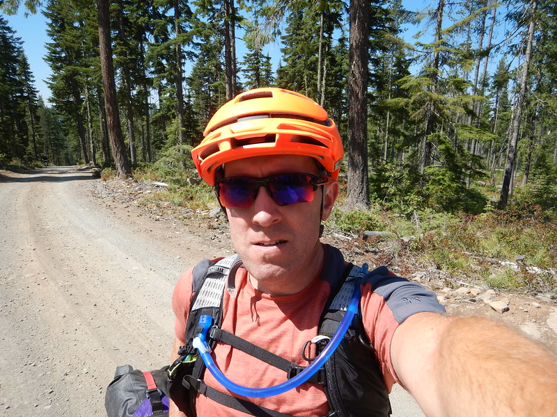
Which leads me to the bulk of this post. Dean and I had originally planned on doing the Barlow Trail Loop around Mt. Hood over four days starting this past Saturday. Dean’s in-laws live off Lolo Pass and it was a perfect starting point. Multiple wildfires around Mt. Hood scuttled those plans. We quickly pivoted to the Anaxshat Passage. It took one day off our itinerary but still offered a multiday adventure. I’m very familiar with the first part of the loop and then the Timothy Lake part too. Day 2 from River Ford CG to Timothy Lake was all new to me and then Abbott Rd to back down to Clackamas River was a bucket list section that is very popular in the gravel riding community.
Day 1 – Anaxshat Passage Loop
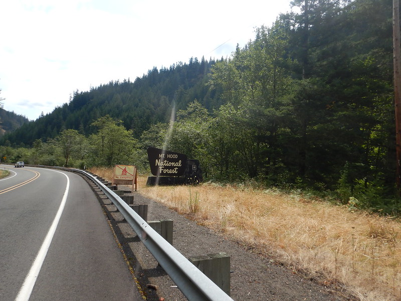

We parked in Estacada and headed up the Clackamas River towards Ripplebrook around 11:30 on Saturday. Goal was to do about 30-35 miles and find a campsite at one of the river adjacent campgrounds. The early miles are all pavement but the ride along Faraday Rd is quite pleasant and avoids a massive hill and crappy traffic along Hwy 224.

For the most part the cars and trucks were nice and gave us plenty of room along 224. It was the A-hole motorcyclists doing close to (probably) 100mph that zipped by way too close for comfort.

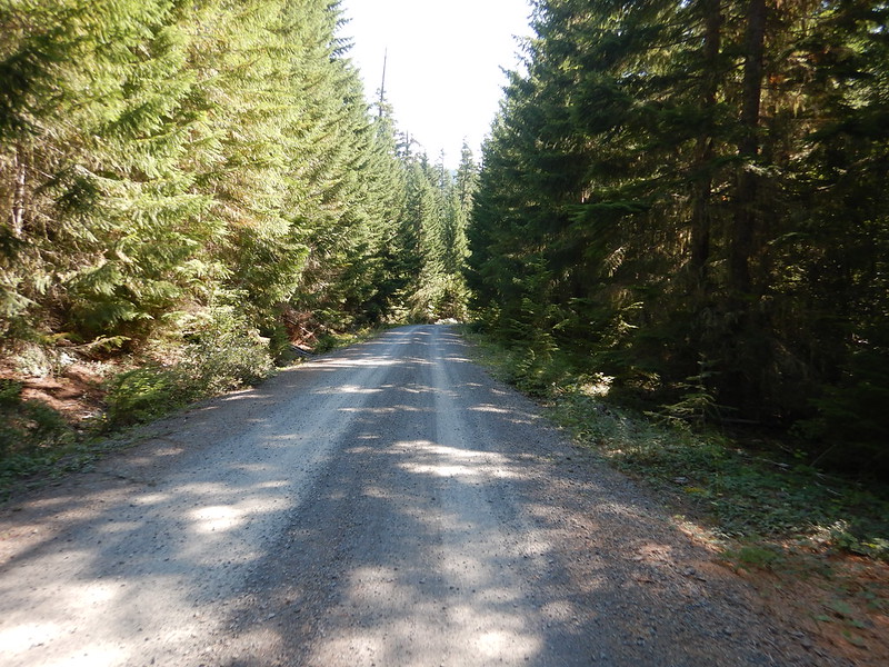
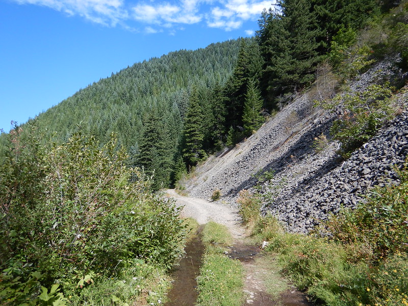
After about 21 miles you turn left on to Pipeline Road and hit the first gravel of the day. It was nice to ascend away from the pavement and traffic. We did run into some people having target practice. Shooting from the middle of the dam road! Lots of dispersed camping sites taken up too. A few that looked like “long term”.
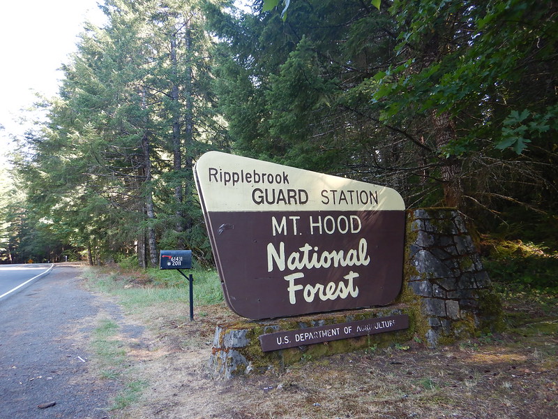
A zippy paved descent back down to Hwy 224 brought us to the Ripplebrook Guard Station/Store.
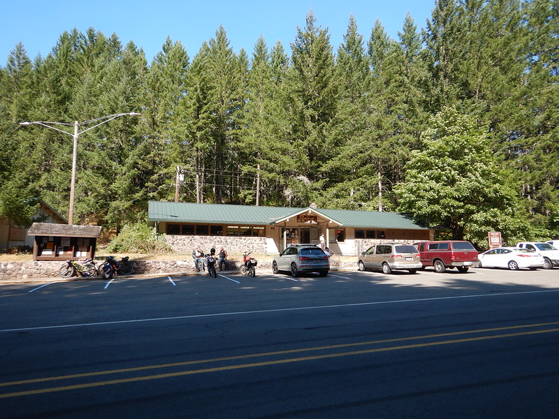
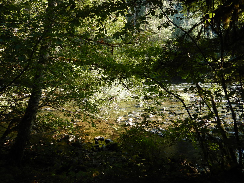
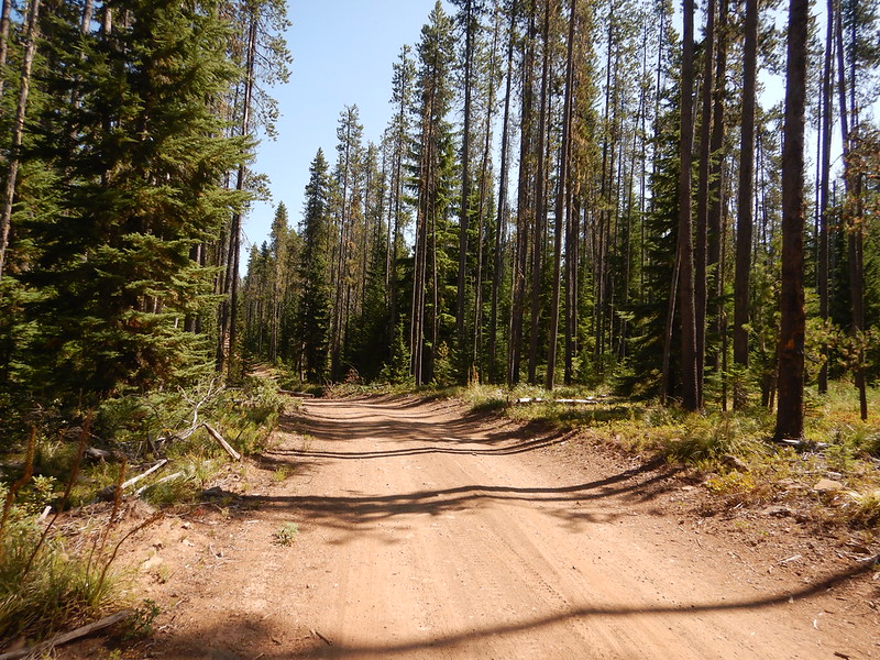
From Ripplebrook to our campsite was mostly singletrack along the appropriately named Riverside Trail.

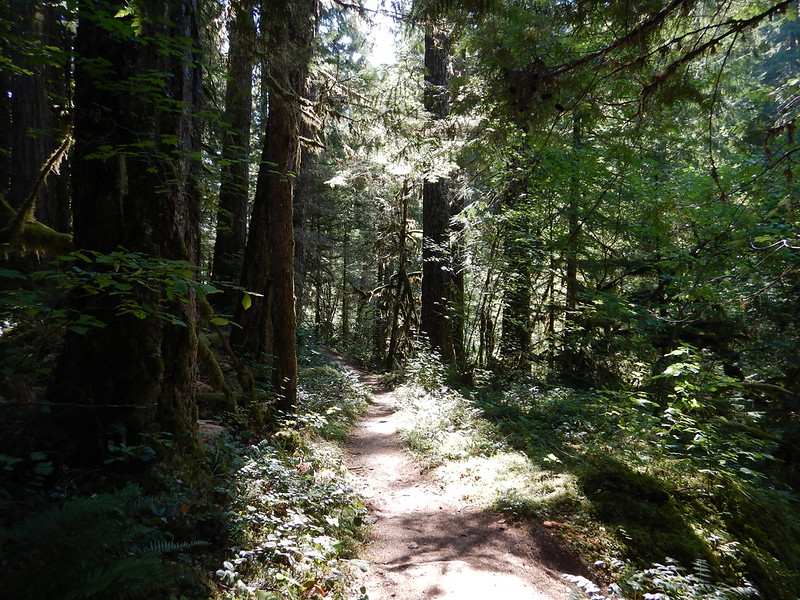

The Riverside trail would be considered a fairly tame stretch of singletrack to most experienced mountain bikers. Toss a bunch bikepacking bags on your rig though and it becomes just a bit more of a challenge. Keeping the momentum going on some of the tighter switchbacks proved to be quite the challenge a couple times. All in all though it was a nice ride along the river and we encountered maybe 8-10 hikers in total. Everyone was pleasant and there were lots of masks going on.
There are four designated campgrounds from Ripplebrook to the end of the singletrack. I was pushing for the last one called Riverford because it was first come first serve and it only had 8 sites. Dean was fairly certain we wouldn’t find a campsite and would end up dispersed camping someplace. I was optimistic (and a bit stubborn) about our chances. As we came up to Riverford from the road we could see that site 1 was PACKED with people. We did a quick loop of the very small campground circle and all the sites looked to be taken. We had a first passed what looked like a path to the river and kind of ignored it. My stubbornness kicked in and I took a slower pedal along and around and what we thought was just a path was actually campsite 6. We had missed the sign in all the greenery/foliage the first time by. It’s probably the most primo site in the whole campground and we freaking snagged it quickly!
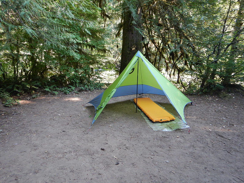

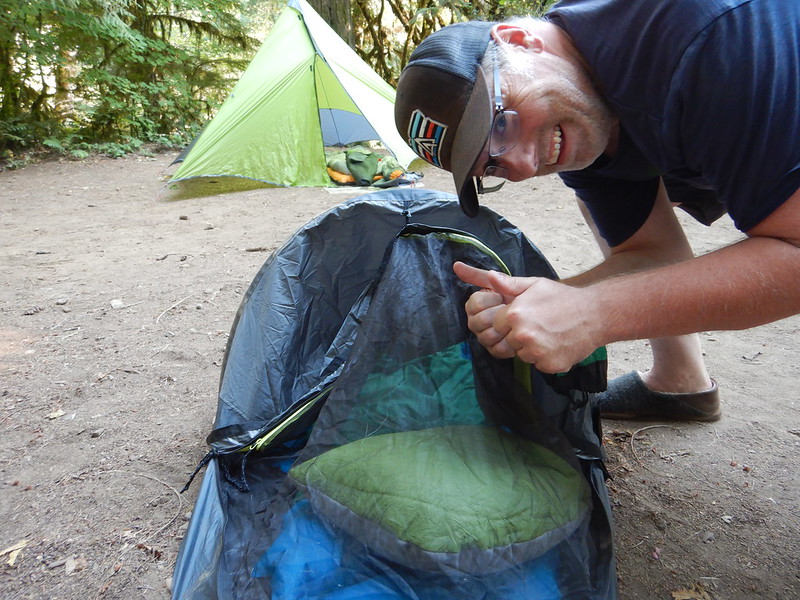
The rushing of the Clackamas River proved to be the perfect white noise for the evening. Also unlike our last trip the other weekend we got to camp at a reasonable time and weren’t rushing to setup and get dinner before dark.

I’ve talked about the wildfires a couple times now. We saw literally dozens of signs along the highway and at the entrance to EVERY SINGLE CAMPGROUND that fires were not allowed. It is too damn dry people. Fire Danger high right now. I kid you not when I tell you that every campsite around us had a fire going that night. Then the dispersed site across the river had a fire raging at one point and they left in their truck for more than a half hour with their campfire still going! This my friends is why I have a dim view of people! I’ll say it again….you cannot fix stupid!
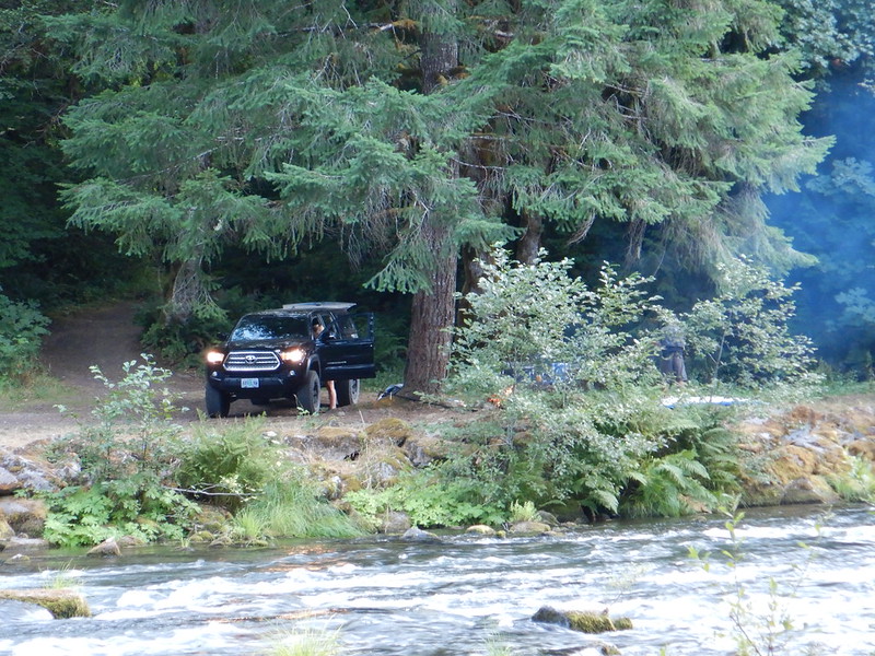
As I am typing this up I just read that there is a 25 acre fire burning in the Clackamas Ranger District along the Collawash River. All I can think of is these dipshits above. Yes, I have very strong feelings about this sort of stuff.
Day 2 – Anaxshat Passage Loop
Day 2 of the trip was going to be all new territory for me. I have never ridden or driven this next section of roads/trail.


Just as a “so you know” for anyone who stumbles across this post. There are a ton of dispersed (i.e. free) sites after Riverford CG. I’d wager at least 10 in the 9 miles before we turned off onto gravel again. One of those sites is at the Austin Hot Springs which is Tribal land and off limits.

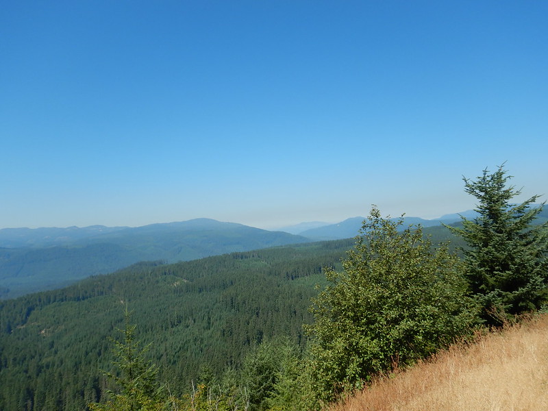
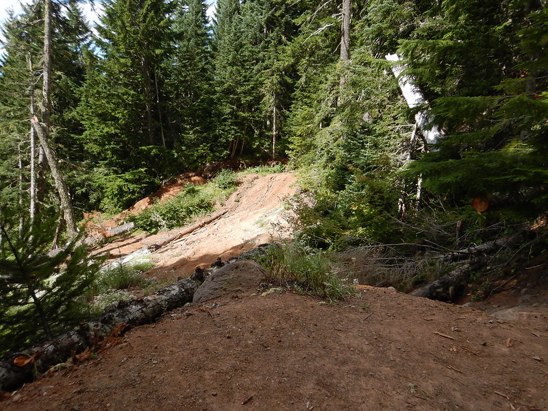
I really enjoyed the gravel roads up and over the shoulder of Peavine Mountain and down to Timothy Lake area.

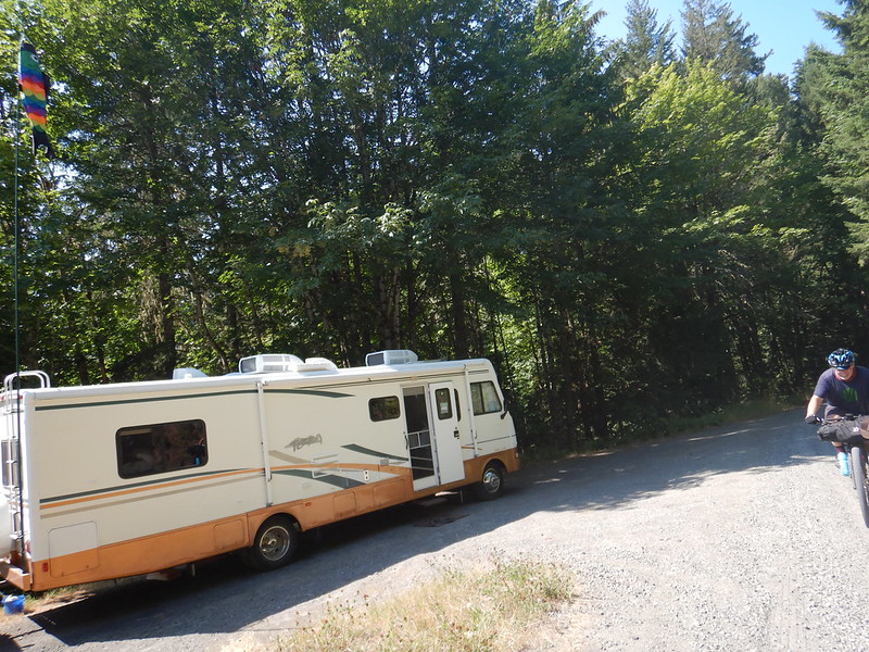
Dean and I came across this guy in a small sedan. The first words out of his mouth were priceless. “I think I’m lost. I’m from Iowa”. He was looking for Bagby Hot Springs. Then of course it was all his GPS’s fault that he ended up on this forest road with no idea of where he was……did I mention that he was also losing air from one of his tires after slamming into a rock/pothole. Also no cell reception and he didn’t have a map. Let’s say it together this time folks….”You cannot fix stupid”. We confirmed that he was only a few miles from pavement. If he made it out or is still out there is the unanswered question.

From Summit Lake it is a quick descent down to Skyline Road and a much needed respite/paved descent to the Timothy Lake area.


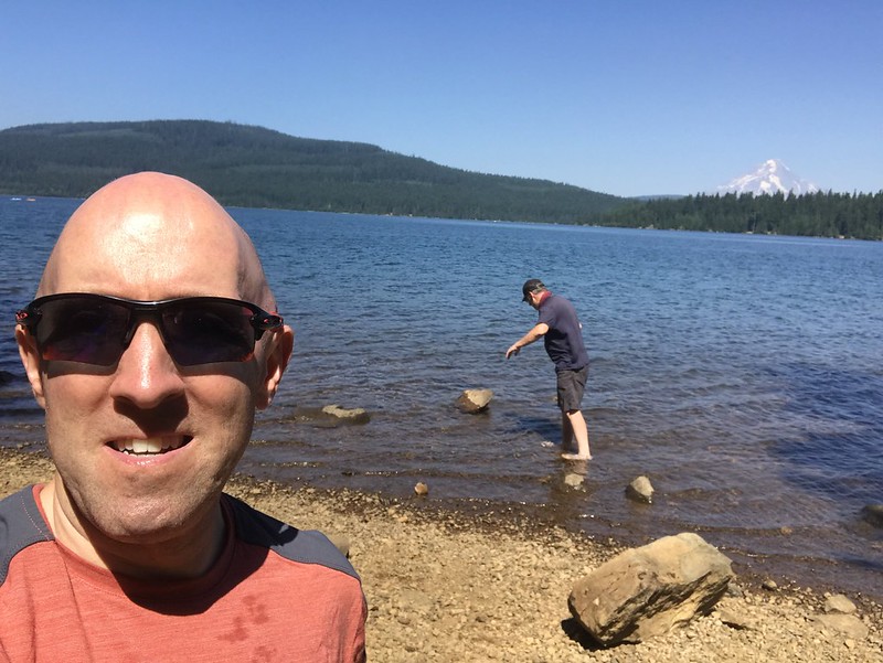
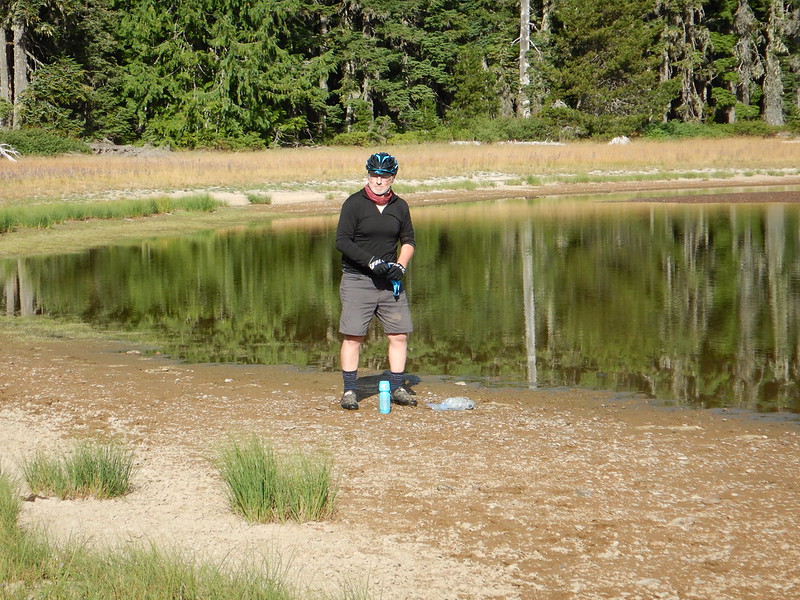
We chilled out at Timothy Lake for at least an hour. Ate some lunch and cooled off in the water. It was nice to rinse off some of the dust and sweat before heading on out again. Lots of people watching from the picnic benches along the shore.

Dean and I were hoping to find a dispersed campsite along the lake. There are quite a few and my theory was being Sunday afternoon we shouldn’t have a problem. So while my optimism on Saturday night won out my optimism for Sunday night was dashed. There wasn’t a single dispersed site available between the hydro dam and North Arm CG. Our next option was slightly off route at Little Crater Lake CG. Mia and I start our annual hike around Timothy Lake from there so it was a known quantity for me. Little did I know though that it was technically closed for camping. That didn’t stop us from staying there for free. We even took over site 2 which is probably the best one there and normally the campground host can be found here.
Day 3 – Anaxshat Passage Loop

The contrast between Riverford and Little Crater Lake was night and day. Riverford was full of people and the river was fabulous white noise all night. Little Crater Lake was just the two of us and dead quiet. I would almost go as far to say eerily quiet overnight. No wind, no water, just falling pine needles hitting my tent and Dean rustling around in his bivy.

Night one we camped at roughly 1500′ in elevation and the morning temps were in the high 40’s. Both of us were comfortable with our sleep setups and it quickly warmed up as we started riding. Night 2 we camped at 3300′ and it was easily high 30’s overnight. Dean was testing out a scaled back sleeping system which included a Sea to Summit sleeping bag liner as his only sleeping bag. Even with long johns and his puffer on he said it was definitely not warm enough for the overnight temps we had. I was sleeping in just shorts and a light shirt with a Nemo Siren quilt that was sufficiently warm for me. I was chilly once I got out of my tent though. I wished I had brought some sort of pants instead of just shorts. Every trip I take in/learn something new for next time.

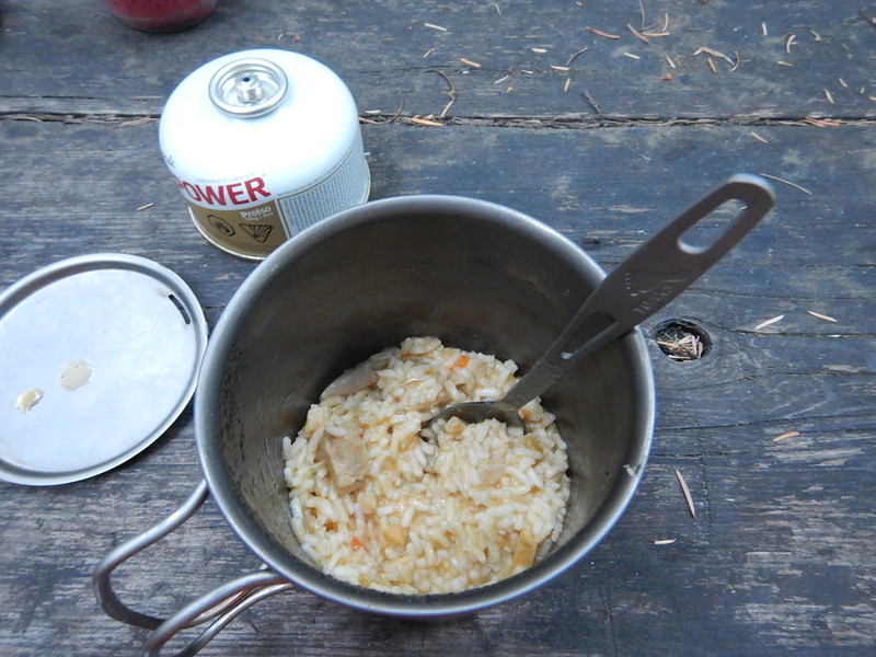

Wrapped up in my sleeping bag eating some hot food and drinking some hot coffee definitely improved things though.

We knew we had about 50 miles left for the day. The first part of the day to High Rock was predominantly climbing. That helped warm us up and soon the sun was shining over the trees and we had shed layers.


We were both low on water as we left camp. Hindsight was we should have filtered out of Little Crater Lake. The campground water pump was locked since the campground was officially closed. We opted to veer slightly off course to hit up jackpot meadows. The water was a bit questionable and I personally didn’t drink more than a sip after filtering and before coming up on a natural spring on Abbott.


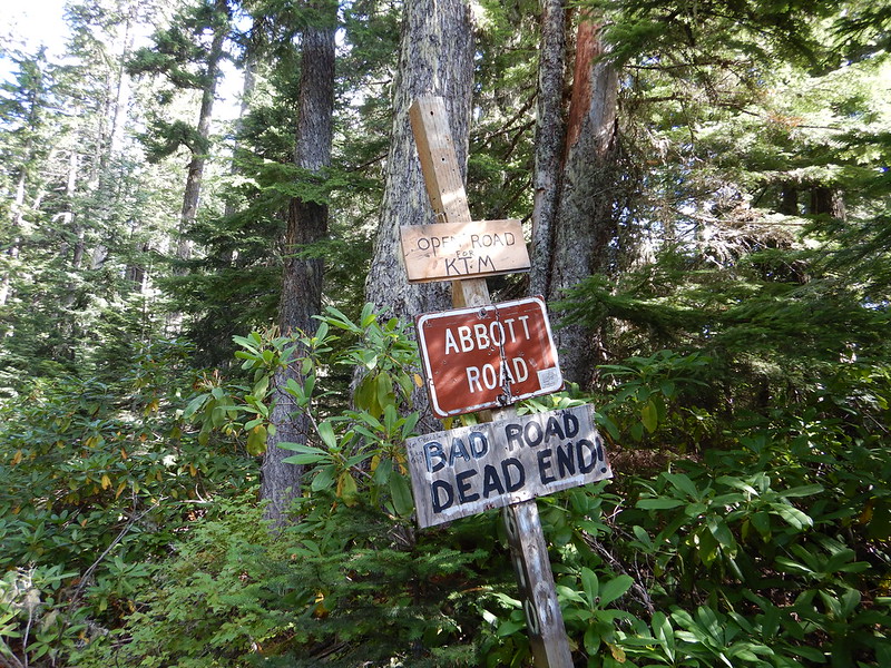
We were expecting each day to be roughly 3,000+ ft of elevation gain with the idea of the last day being a lot of elevation loss back down to the Clackamas River. We hit the start of Abbott Road with about 1900′ of gain since leaving camp. I naively thought we’d be done with any significant climbing after this. Boy was I wrong. We ended the final day with 3,888′ of elevation gain over 50 miles.
The first part of Abbott is indeed downhill. We lost about 1,000′ in elevation fairly quickly. Then proceeded to climb right back up to 4500′ and then descended to 3600′ and climbed back up to 4300 again over the next 7 miles.
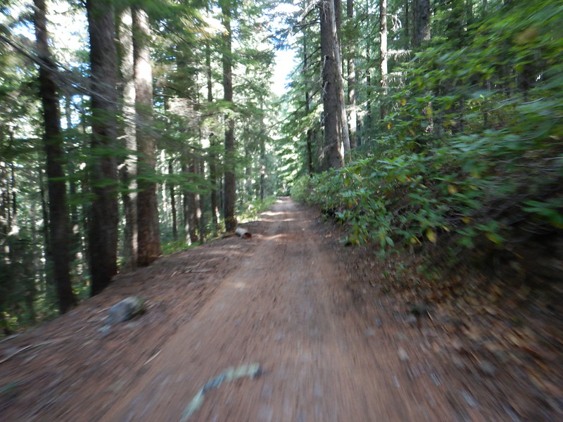


It felt like every time we lost 1,000′ in elevation the road would rise back up a few hundred feet just to piss you off. Steadily though we got closer and closer to the river and an easy 8 miles back to the car.
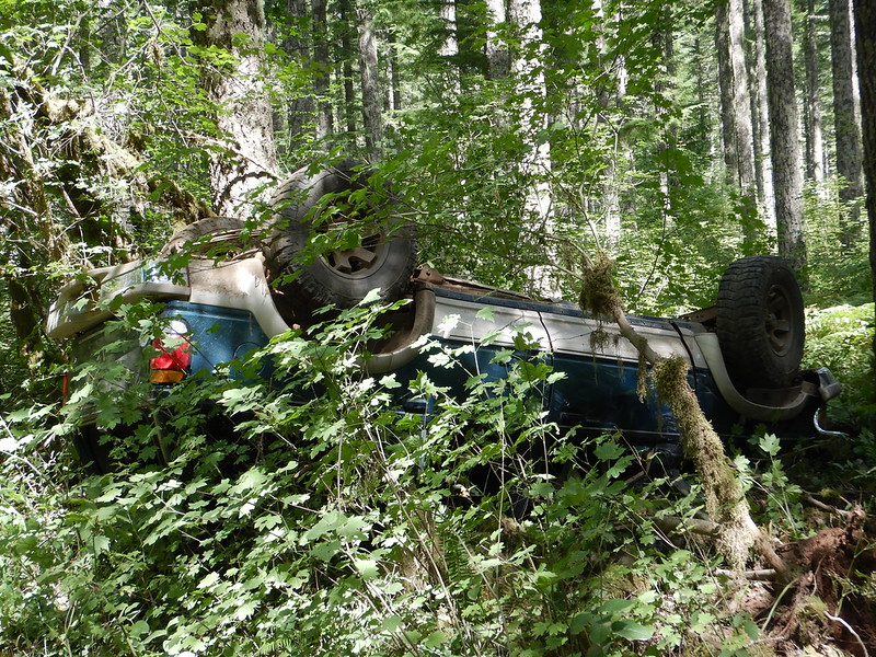
From the west Abbott Rd/FR4610 is a popular access point to the La Dee Flats OHV trails. We saw a lot of jacked up trucks, side by sides and dirt bikes as we came down the road. Also the wonderful rollover above. I seem to have a knack for finding things like this on my rides.
Just as you come out of FR 4610 you can (and should) cross the highway for the Promontory Point Marina and a selection of convenience store foods. Including heat lamp corn dogs and BBQ burritos.

We started the day at 3300′ with temps in the upper 30’s. Then climbed up to just over 4600′ under warming but still cool conditions. Finally temps had climbed up to the lower 80’s by the time we dropped down to the river valley. Quite the swing!

The final miles back to the car were exactly the same as coming out on Saturday. Rolling back into Estacada wasn’t bad as the traffic was fairly tame since it was a Monday. I was slightly nervous that my car would be gone (stolen) or broken in to but it was totally fine if not extremely toasty inside from sitting in the sun.
So glad to get out for this trip. At times it was pretty simple to forget about COVID and pretend like things were normal.
I’d wager you could do this whole loop in one long day. Not sure you should though. Taking a more laidback and casual approach allowed us to stop and enjoy the views, chill out when we wanted and not set any kind of frenzied pace.
Thanks to Dean for joining me. I like planning stuff like this and I am way more likely to head out with somebody else in tow. Solo trips are fun and fine but the buddy system works for all sorts of reasons. You never know when the unexpected may occur.
That brings me to the next tidbit. No punctures or mechanicals of any kind. I’m personally a bit ( a lot) OCD about keeping my bikes in working order. It is always nice to not have to deal with an issue on the side of the trail.
The original story and link for this loop can be found at bikepacking.com here. I have an album of pictures here.
Thanks for reading,
-Pete

Great stuff. Thanks for sharing! I’m familiar with many of those places but not all of them. It’s great to hear the play by play of how the trail ride and things you learned and might have done differently in retrospect. Also, I’ve done the Riverside trail in the opposite direction and I agree with you about some of those switchbacks. They were definitely tricky!
Lastly, do you feel this loop would only be good in the counter clockwise direction that you did it in, due to the elevation climb distributions across the days?
You could do it in the clockwise direction. The climb up Abbott road would be rough to say the least.
I always love those “hidden” sites in otherwise full campgrounds!
The river scene reminds me of the trip I did up the Carbon River Road to Rainier National Park. There’s off the side of the road “dispersed” camping right before the entrance, in the National Forest. We found a spot near the yahoos. We hoped the sound of the Carbon River would drown out everything. Then at sunset they started to shoot their guns. “At least they’re not shooting AT us, I guess?”