I didn’t write anything for week 53. Other than building a raised bed for some blueberry bushes in the backyard not a lot was going on. I spent way too much time in front of a computer screen last week too. We’re in the middle of budget season at my job and I spent hours in Zoom meetings last week listening to departments justify their requests. Needless to say by the time the weekend rolled around I had little desire to spend more time sitting in front of a computer screen during my non-work hours.


Not sure what kind of crop I can expect from these Sweetheart variety for the first year. They are notable for being hearty and producing two crops per year. So fingers crossed for some good output in the future.
I also received some exceptionally good news late this past week. I have my first COVID vaccination coming up later this week. I kind of feel like I won the lottery!!! Getting my shot opens up the door to actually being able to resume some sort of “normal” (or at least that is my great hope).
Where does this go?
Several weeks ago I was in chat with someone about a potential connection between two gravel/logging roads out towards Cherry Grove, OR. There was some heatmap evidence on Ride with GPS from other users making it. The Open Street Map view clearly shows a connection. The idea for today’s ride was to prove the concept.
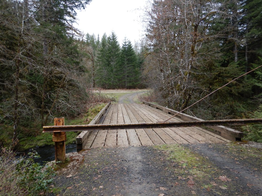
John and I had dropped in to Lees falls Rd from Stimson Mainline a few weeks ago. This was my initial approach on today’s ride too. Instead of heading for the waterfalls though I banged a left to cross the bridge pictured above.
I was riding this from memory of the connection on a computer screen. I hadn’t mapped it out but in general I have a pretty good sense of direction. My gut said go left on the far side of the bridge but I went right just to check it out. I ended up climbing almost 3/4 of a mile of logging road before it was super obvious this wasn’t going anywhere or at least where I wanted it to. I was ascending away from Cherry Grove and the idea was to come down into town. Dropping back down and taking the left turn proved to be the correct assumption.
I was more or less looking for some sort of herd path off to my left at any point. I could see the village of Cherry Grove down to my left so knew I was on the right track. One false lead quickly faded out but as I climbed a bit further up you could make out an obvious graded road just a ways above my location. The next faint(ish) herd path popped me out a couple miles up Koennecke Rd which didn’t look at all familiar to the one time a group of us had climbed up this road early last year. It was the road and connection I was looking for though.
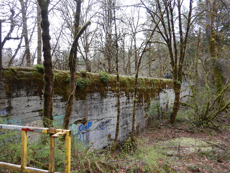
After coming through a field along the road I could see this old dam that I remembered from the one time I had come from the opposite direction. I’m curious to know the history here. I did find this 2009 article about the Upper Tualatin River but no mention of this particular area. It may be the former dam used to generate electricity for the town that is mentioned in its wiki page.

Anyways, that about covers the fun and excitement for this week.
Thanks for reading,
-Pete
